mapgrab
v0.1.4
Published
A CLI utility to automate screen grabs of a MapTiler map
Downloads
9
Readme
MapGrab
A CLI utility to automate screen grabs of a MapTiler map
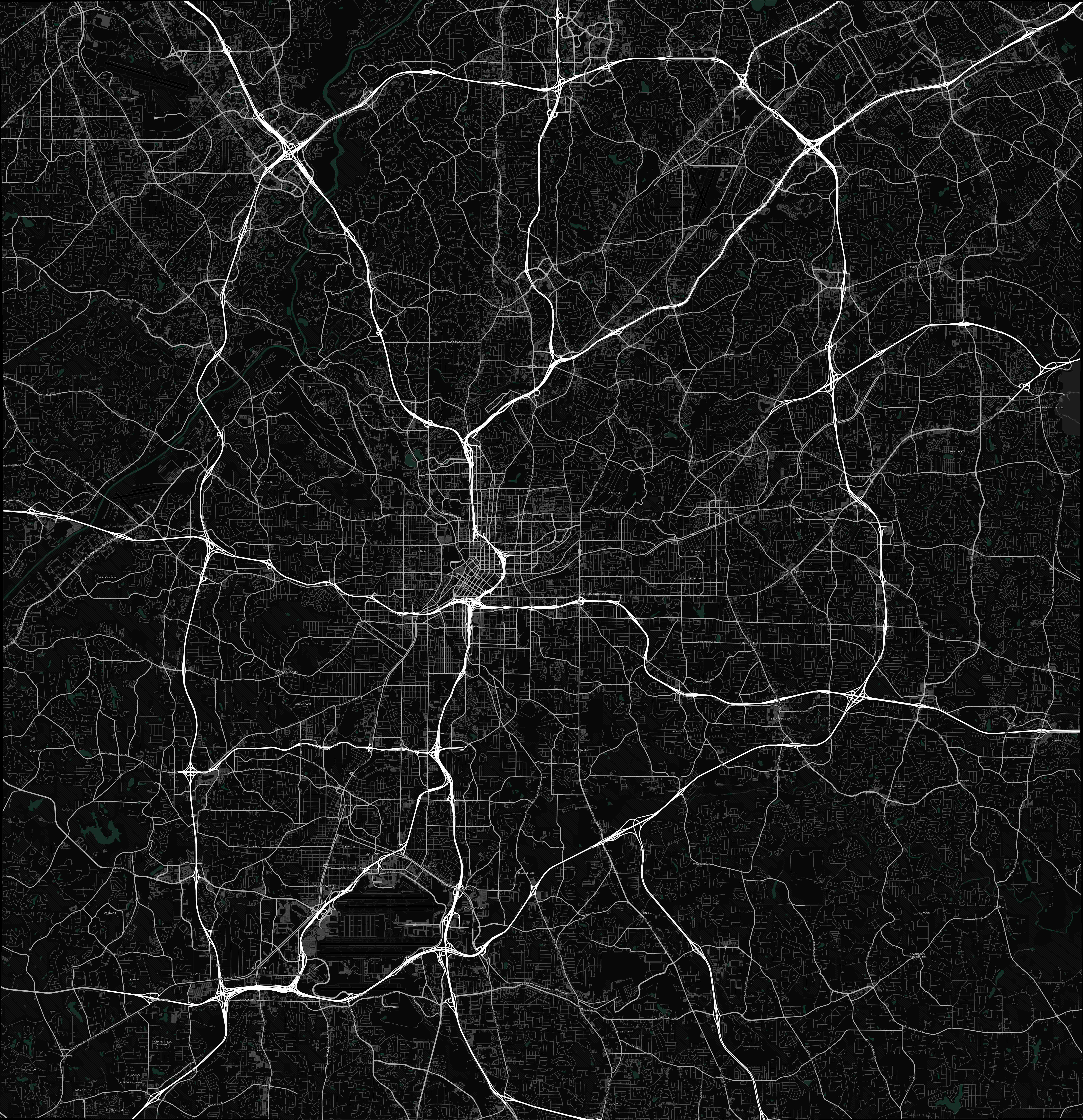
This MapGrab tool was created to help with easily piecing together big map images. It works by calculating a grid for the map area that's given, then taking screenshots of each tile within the grid. The resulting tile images include some overlapping areas to easily allow you to then run the images through a stitching tool like AutoStitch. You can easily customize the look and feel of your map by plugging in your own MapTiler map ID containing your own custom colors.
Installation
Install the package using:
npm i -g mapgrabUsage
To start generating map images, use the following command(s) in your terminal window:
Generating a Map from Default Coordinates:
# mapgrab -l <location>
mapgrab -l Atlanta
Generating a Map from Custom Coordinates:
# mapgrab -l <location> -c <coordinates>
mapgrab -l Atlanta -c "[33.608576, -84.513990] [33.926377, -84.211179]"
The coordinates given should indicate the bounding box area that should be used to generate the map tiles. These coordinates should be given in the form of
[SW Latitude, SW Longitude] [NE Latitude, NE Longitude].
Generating a Specific Map Tile:
# mapgrab -l <location> -t <tile>
mapgrab -l Atlanta -t 5
This is useful if the tile did not fully load before the screenshot was taken. The
-toption can be used with both default coordinates and custom coordinates.
Example
Below is an example map after using the MapGrab tool and running the generated images through AutoStitch:

